Photo: Pexels
Namcha Barwa
Nan Jia Ba Wa Feng
The eastern anchor of the Himalayas — 7,782m of sheer majesty rarely seen by outsiders
About Namcha Barwa
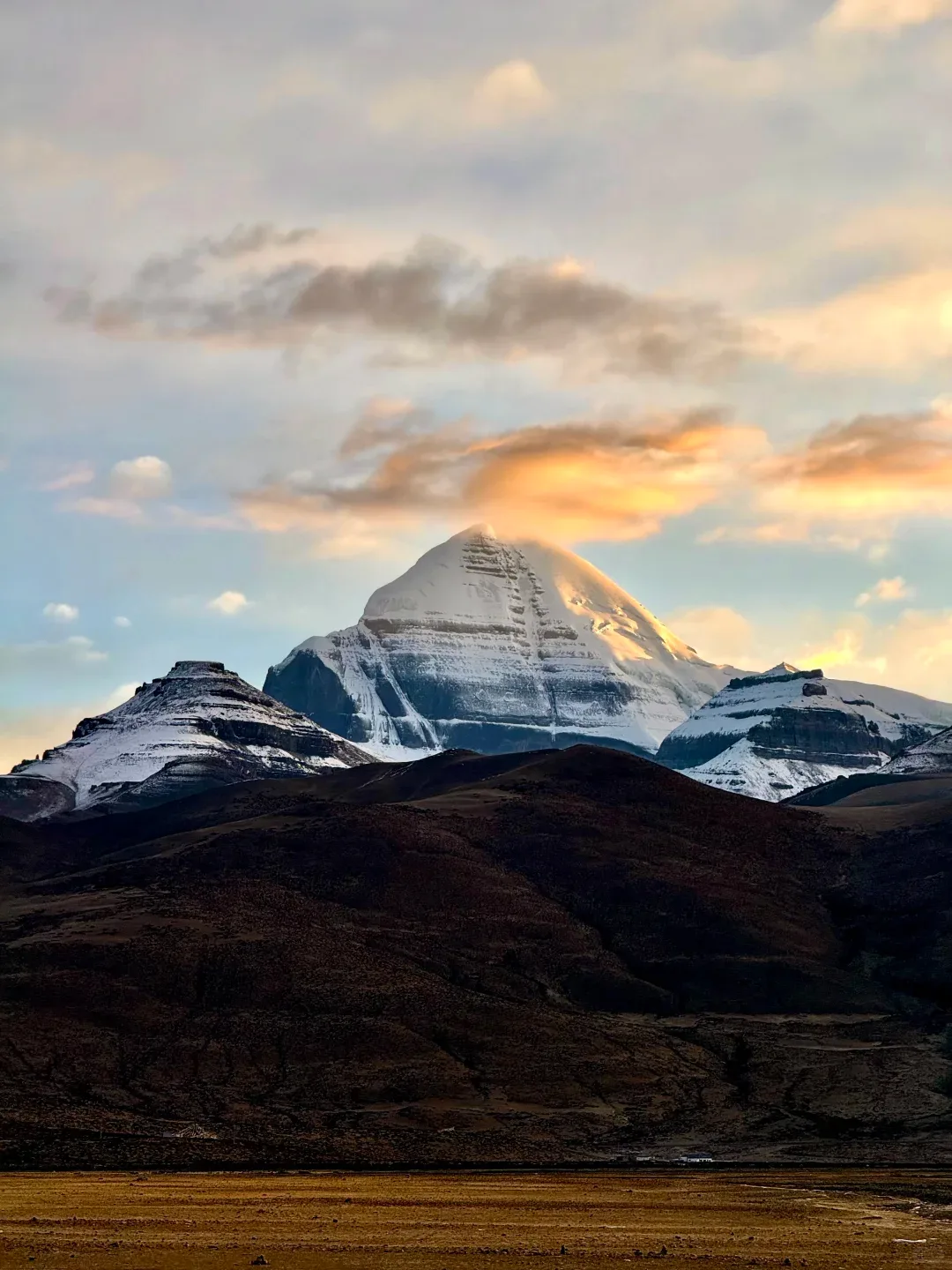
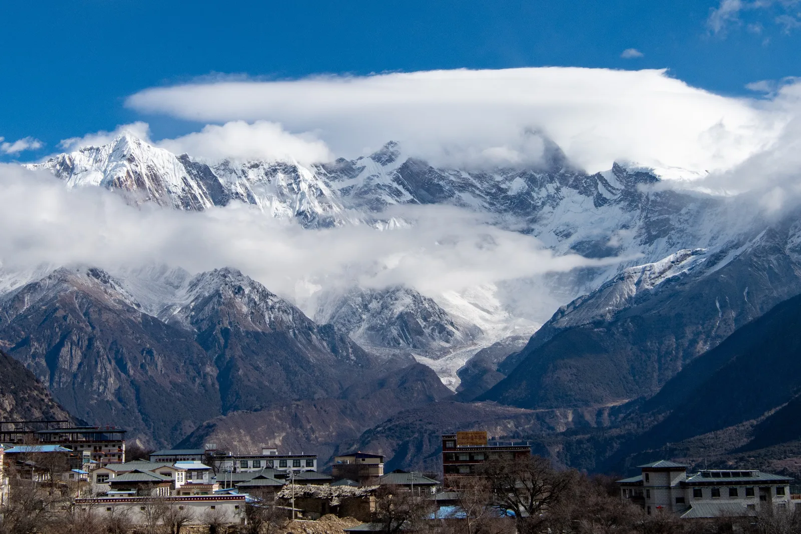
Namcha Barwa, at 7,782 meters, is the eastern anchor of the Himalaya and one of the most inaccessible, least-photographed great peaks on Earth. Located in Tibet's Nyingchi Prefecture, where the Yarlung Tsangpo River (which becomes the Brahmaputra in India) makes its great U-turn around the mountain's eastern flank, Namcha Barwa rises nearly 5,000 meters in just 20 horizontal kilometers from the river below — one of the steepest elevation gradients on the planet. The peak was only first climbed in 1992 by a joint Chinese-Japanese expedition, and it has seen fewer than a handful of successful ascents since. For non-climbers, the mountain is an object of distant veneration. The best viewing points are along the Sichuan-Tibet Highway near the village of Pai in Nyingchi, where on clear days (roughly 30-40 days annually), the mountain's massive east face, draped in hanging glaciers and veined with icefalls, dominates the northern horizon. The Yarlung Tsangpo Grand Canyon, which Namcha Barwa anchors, is the deepest canyon on Earth — deeper than the Grand Canyon by over 2,000 meters — and one of the world's greatest remaining wilderness areas, with ecosystems ranging from subtropical at its base to arctic at Namcha Barwa's summit. Visiting requires permits for Tibet travel and is typically done as part of an organized tour from Lhasa to Nyingchi. The best viewing seasons are March-April (spring blossoms in Nyingchi, with snow-capped peaks above) and October-November (crisp autumn visibility). Summer is monsoon season — clouds obscure the peak almost continuously. Namcha Barwa is not a mountain you climb or even approach closely. It is a mountain you witness from a great distance, and in that witnessing is a particular kind of awe: the knowledge that some places remain beyond reach.
Mountain Facts
Cultural Significance
The highest peak in the eastern Himalayas and the third-most prominent peak in the world. Revered in Tibetan Buddhism as a sacred mountain.
Highlights
- • Viewing from Serkem La pass
- • Yarlung Tsangpo Grand Canyon overlook
- • Sunset alpenglow on the peak
- • Pailong village base area
- • Combined trip with Nyingchi peach blossoms in spring
When to Go
October-November is the only reliable window for seeing the peak: the monsoon retreats, the Yarlung Tsangpo valley air clears, and Namcha Barwa's 7,782m east face is visible on roughly 40% of days — the annual average is only 30-40 clear days, most of them in autumn. March-April is the second window: Nyingchi's peach blossoms turn the valley floor pink while the peak still carries full winter snow, but afternoon cloud is more common. May-September is monsoon: the peak hides virtually every day and canyon roads can be blocked by landslides. December-February is dry and clear but very cold (valley nights near -10 C) and some passes close. Stay 2-3 days to spread your odds across multiple sunrises and sunsets. The classic viewpoints are Serkem La pass and the Pai village bend on the G318.
How to Get There
By Air: Fly to Nyingchi Mainling Airport (LZY) — one of the most dramatic approach flights on Earth, threading between the peaks of the eastern Himalaya. Flights from Chengdu (1.5h), Chongqing, and Xi'an operate most days. From Mainling, the viewing area around Pai village and Serkem La is 2-3 hours by car. By Road: From Lhasa, the G318 takes 2 days via Basum Tso (overnight) — the classic road trip; the new Lhasa-Nyingchi expressway cuts it to 6-7 hours. Permits: Nyingchi requires a Tibet Travel Permit arranged through a licensed agency, usually bundled with an organized tour since independent travel is restricted for foreign visitors. Budget: an organized 4-5 day Lhasa-Nyingchi loop including the canyon costs roughly CNY 3,000-5,000 per person. The Yarlung Tsangpo Grand Canyon park (CNY 150) has shuttle viewpoints; the best free views are at Serkem La and along the G318 near the canyon bend.